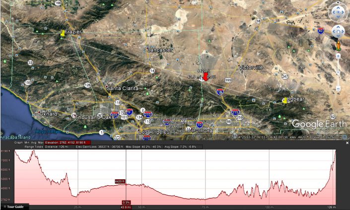
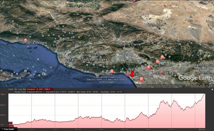
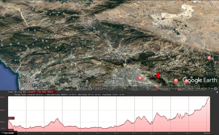
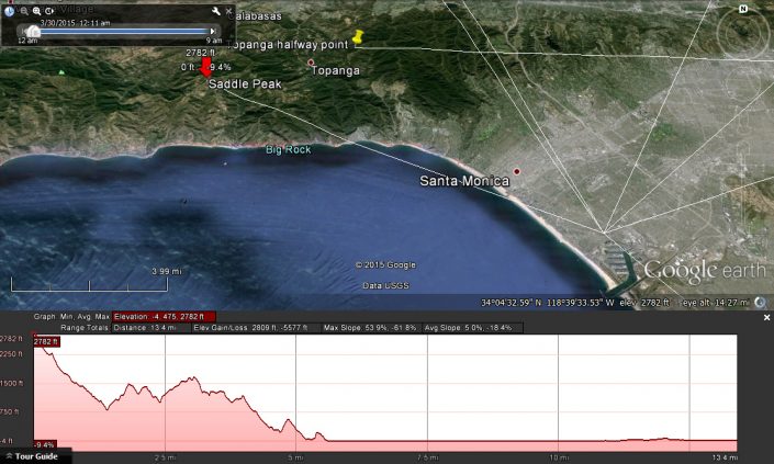
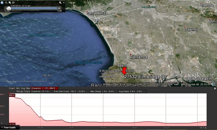
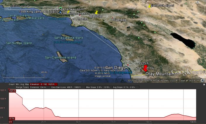
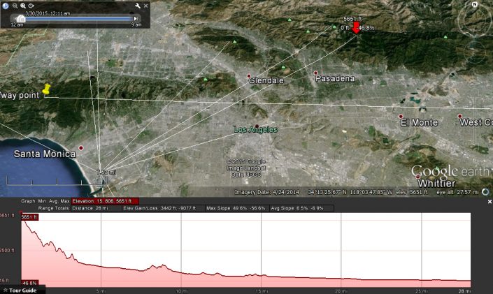
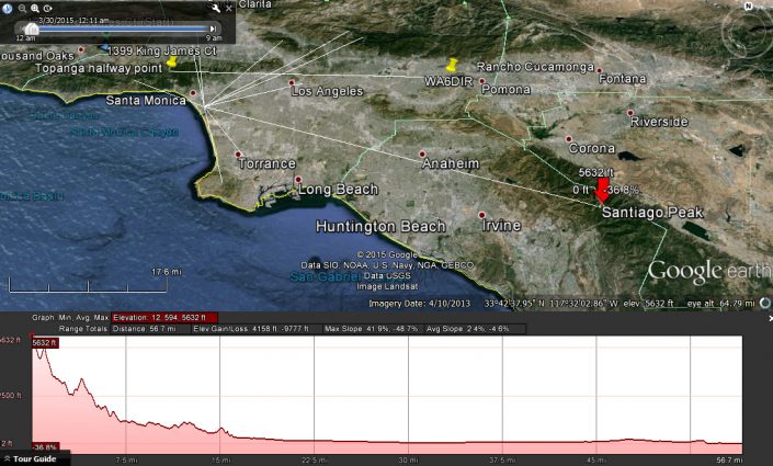
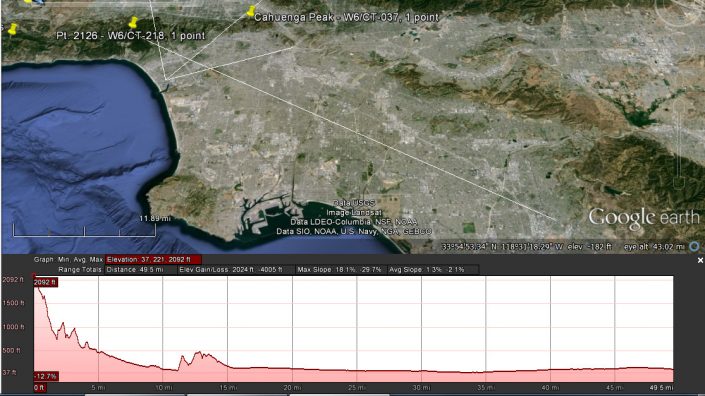
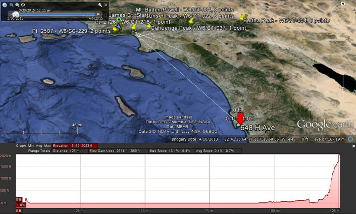
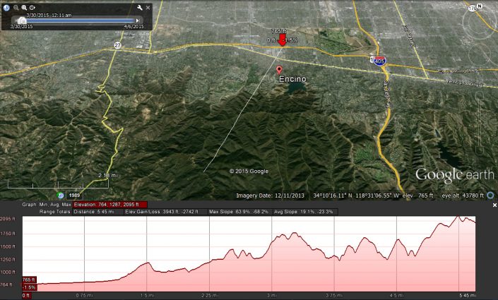
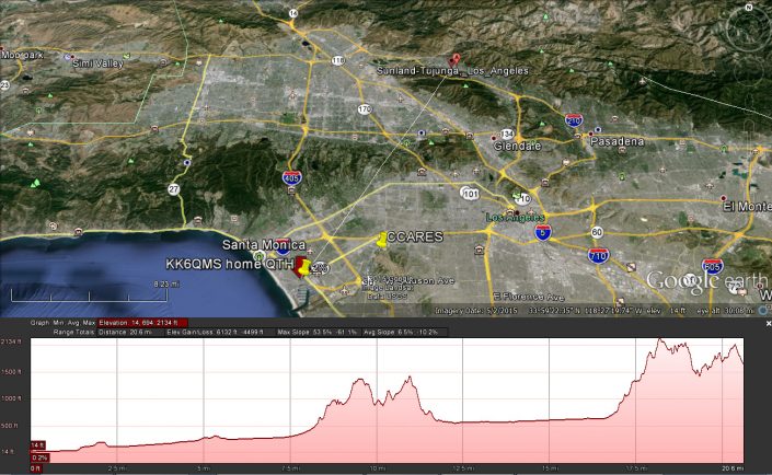
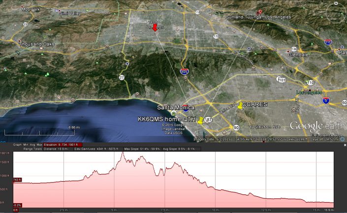
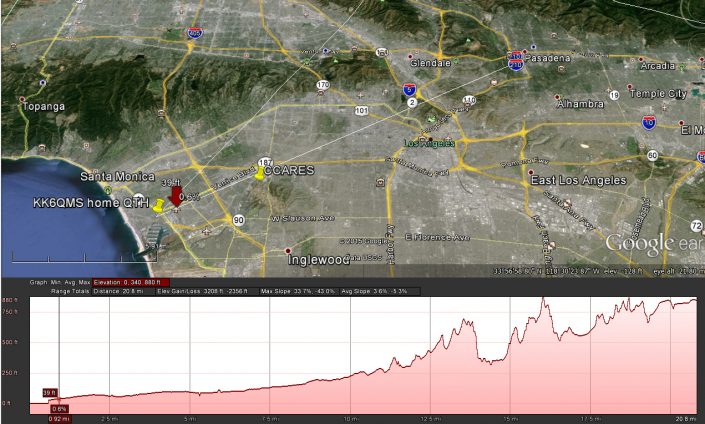
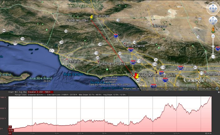
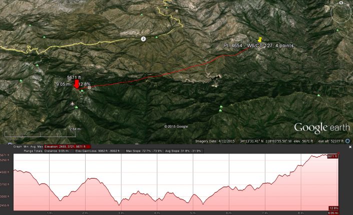
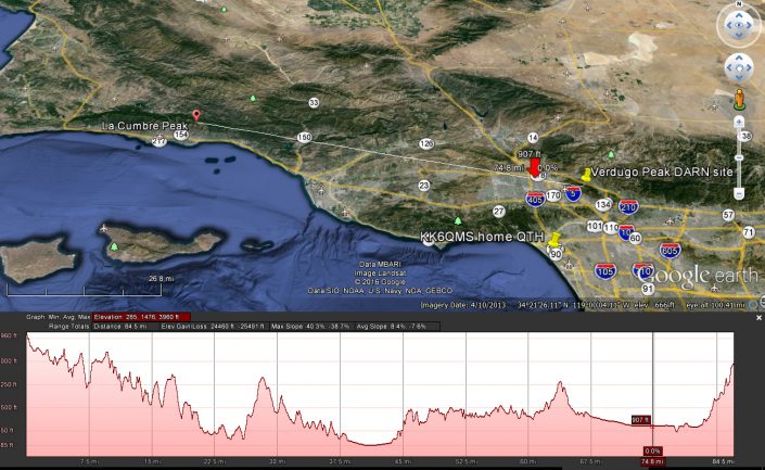
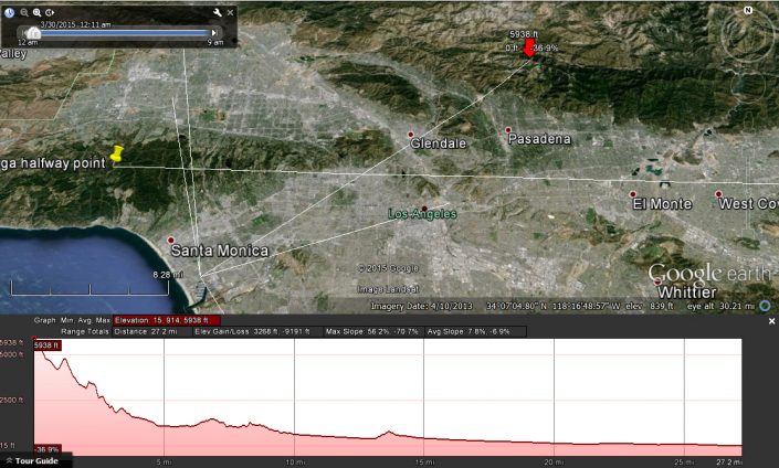
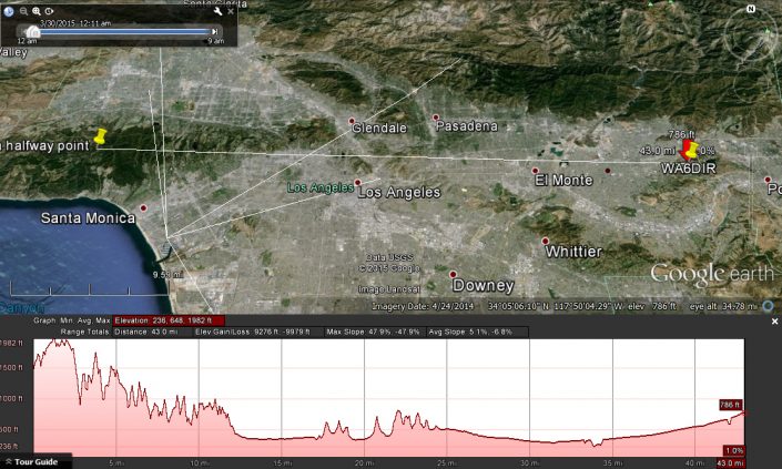
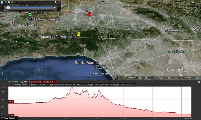
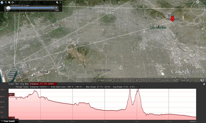
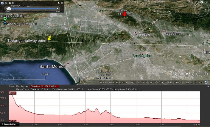
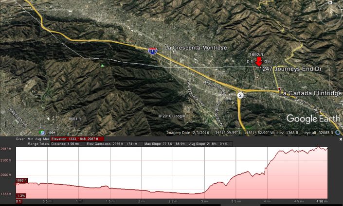
Google Earth elevation profiles are a great learning tool but has a few quirks.
To gen a profile:
1- Click Add Path button or add path from Add menu
2- do not name or do anything with the box that pops up- move it to the side
3- click on your start point on map- this will end up on the left side of the generated profile.
4- click on the end point on the map
5- now name the path in the box you moved away in step 2 and save.
6- Right click the path name which is now at the bottom of the list on the left side of GE under Places and select “Show Elevation profile”
7- IMPORTANT- zoom in on the path line and drag along the entire length. The accuracy of the graph is dramatically impacted by this ste!
Notes- placing mouse over the graph will show corresponding point on map. zooming out some then clicking on graph will zoom into that point (to see highest point/obstruction between 2 points etc)?
Also- if you have a beam or are looking for bearings you can use ruler tool instead between 2 points.

